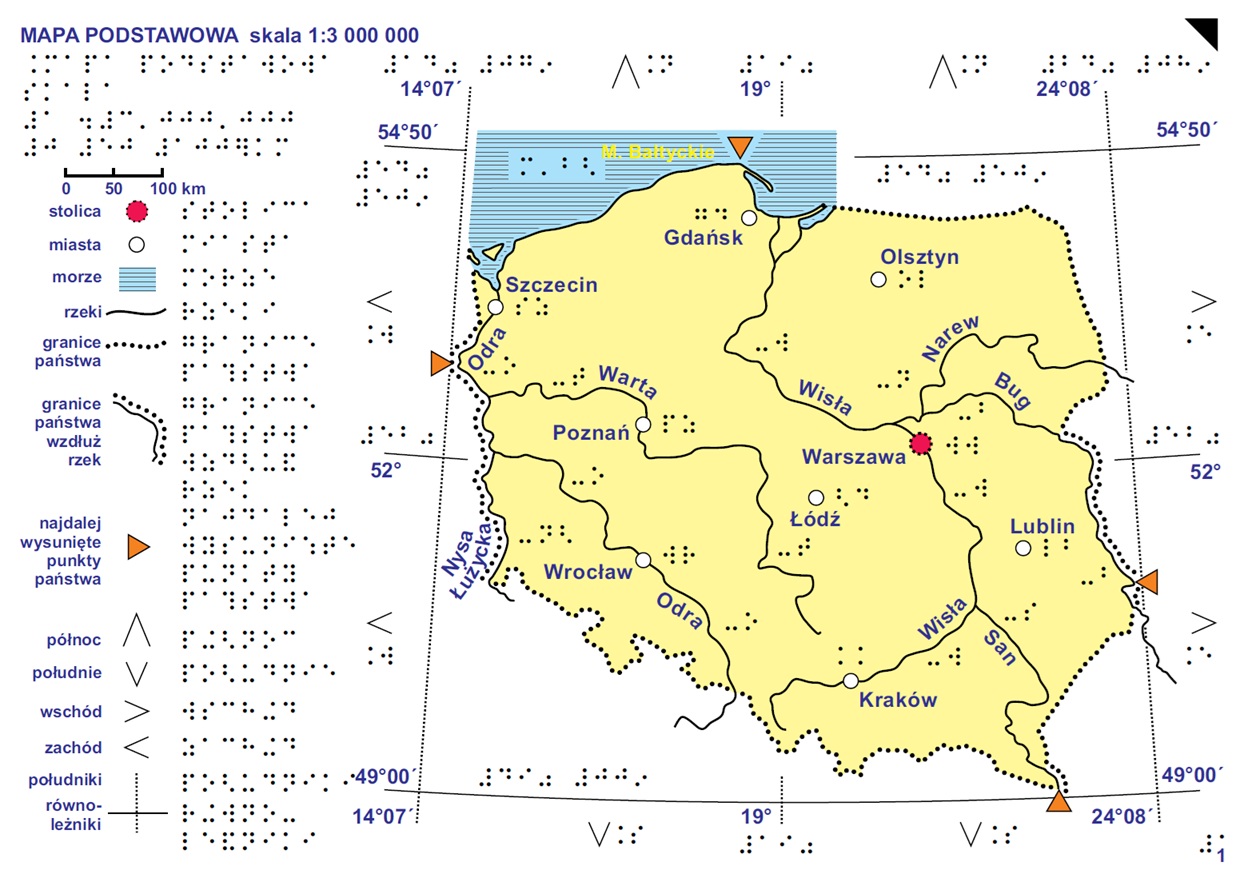
This tactile model represents the Basic Map (scale 1:3,000,000) from the Geographic Atlas of Poland for Blind and Visually Impaired Users, developed by the Head Office of Geodesy and Cartography (GUGiK). The map provides a general overview of Poland, including its national borders, major cities, rivers, and other key reference features, serving as an introduction to the atlas and a foundation for interpreting the remaining maps.
The model presented here is a single sheet from the complete atlas. The full collection of tactile maps is available through the official GUGiK Geoportal: [link to the complete atlas].